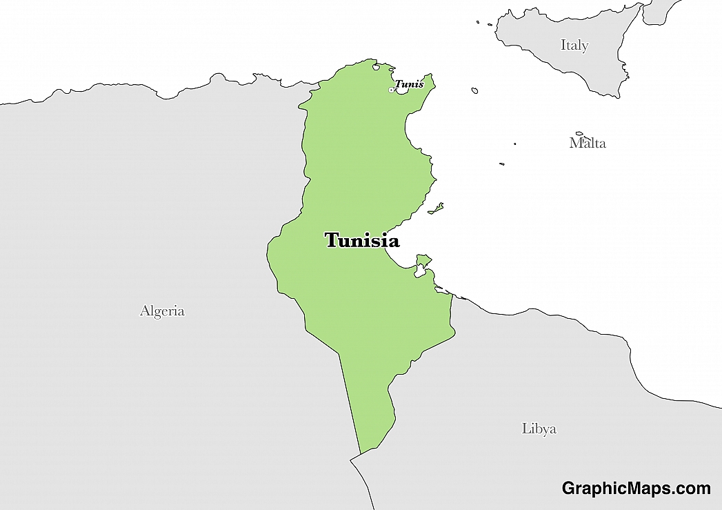
The capital of Tunisia is Tunis, which is located in the northeastern region of the country in the hills surrounding the Lake of Tunis. It is home to the important La Goulette port, which allows trade from the Mediterranean Sea via a canal that connects the two. When this region came under Arab control during the 8th century AD, Tunis grew in importance and became more developed. This city became the capital in 902, although only for 7 years. The region changed hands over the next few hundred years and in 1159, Tunis once again became the capital. It remained with this designation over the following ruling dynasties, empires, and colonial eras.
The population of Tunis is 1,056,247 individuals, living in the city proper. The entire metropolitan area, however, has a population size of 2,643,695. This number represents a significant increase over the metropolitan population size of 1975, which is recorded at 873,515. In response to this rapid growth, the government has initiated several public programs aimed at reducing growth. Some of these include a family planning program and a literacy program.
Because of its historic architecture and location near the Mediterranean Sea, Tunisia is a relatively popular place to visit within Tunisia. Beach resorts located outside of the city, however, tend to be more popular with tourists. One of the most interesting places to visit in Tunis is Carthage, the ruins of an ancient Roman city. Adventurous travelers may enjoy a trip to the traditional market, known as a souq, located in the medina. Other popular attractions in Tunis include: the Bardo Museum, the Zitouna Mosque, and the Bab Saadoun (an arched gate dating back to the 14th century).
Tunis is located within a Mediterranean climatic zone, which means it experiences mild winters and hot, dry summers. The hottest time of year in this city is between June and September, with average daily temperatures reaching their highest at around 82.9° fahrenheit in August. From October through February, Tunis receives over 2 inches of rainfall each month. The total annual average precipitation is recorded at around 18.32 inches. The coldest months are January and February, when the average daily temperature is around 53.6° fahrenheit.
This page was last modified on May 1st, 2018
More on Graphicmaps

Published on 2019-11-06
What is a Trade Embargo?

Published on 2019-11-04
Which Two Countries Used to Have the Same Flag?

Published on 2019-09-16
What Is the Only Two-Sided State Flag?

Published on 2019-09-16
Which Country Flag Looks Like the Texas Flag?

Published on 2019-08-29
Flags That Resemble the US Flag

Published on 2019-08-20
