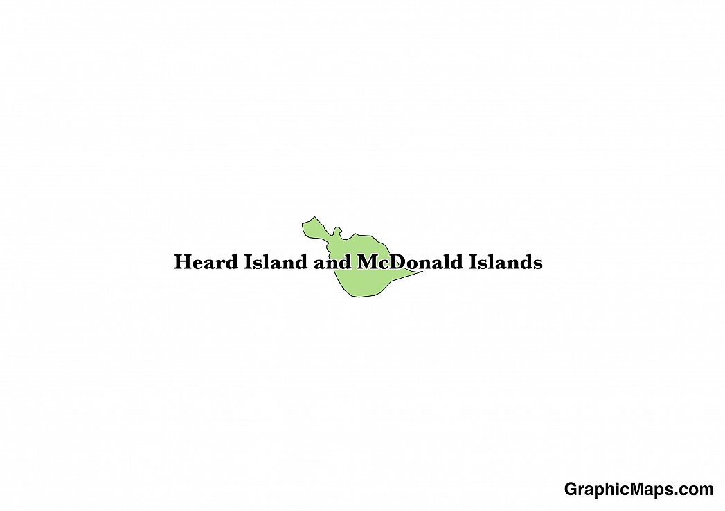
Heard Island and McDonald Islands are external territories of Australia. The islands covers an area of 144 square miles and do not have any residents. The islands are not a country on their own, so they do not have a capital city. The islands are located in the Indian Ocean on the Kerguelen Plateau. Heard Island gets its name from Captain John Heard, an American sailor, who first saw Heard Island on November 25, 1853. Captain William McDonald first saw the McDonald Islands on January 4, 1854. Australia took over the governing of the islands from the United Kingdom on December 26, 1947.
The population of the islands as of January 1, 2011 was zero. The islands are a marine reserve with people visiting the islands to carry out research for a while. Atlas Cove on Heard Island was home to camps by visiting researchers in 1947 up to 1955. William's Bay on McDonald Island was used as a camp in 1971.
Heard Island and McDonald Islands are rarely toured though there are a few sites to see on the islands. Some of the places to visit include Mount Drygalski, an ice-free hill that is 210 meters high, the Challenger glacier, Hayter peak, and Anzac peak, a volcano that is 715 meters high. There are also several plants and algae species growing on the islands there are also seals, penguins, and birds to see. Some of the mammals present on the islands include the Leopard seal, the sub-Antarctic fur seal, the Antarctic fur seal, and the Southern Elephant seal.
The climate of the Heard and Mcdonald Islands is Antarctic. The mean daily temperatures are usually low, and the islands are cloudy and windy. The islands also experience constant rainfall and snow throughout the year.
This page was last modified on May 1st, 2018
More on Graphicmaps

Published on 2019-11-06
What is a Trade Embargo?
Published on 2019-11-04
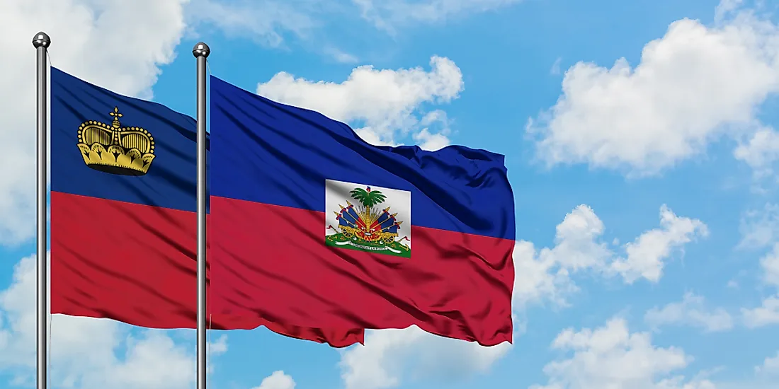
Which Two Countries Used to Have the Same Flag?
Published on 2019-09-16
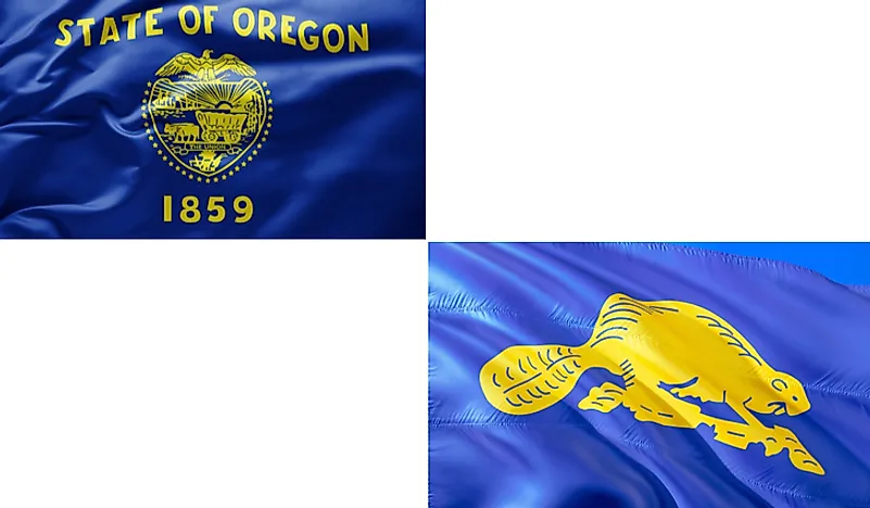
What Is the Only Two-Sided State Flag?
Published on 2019-09-16
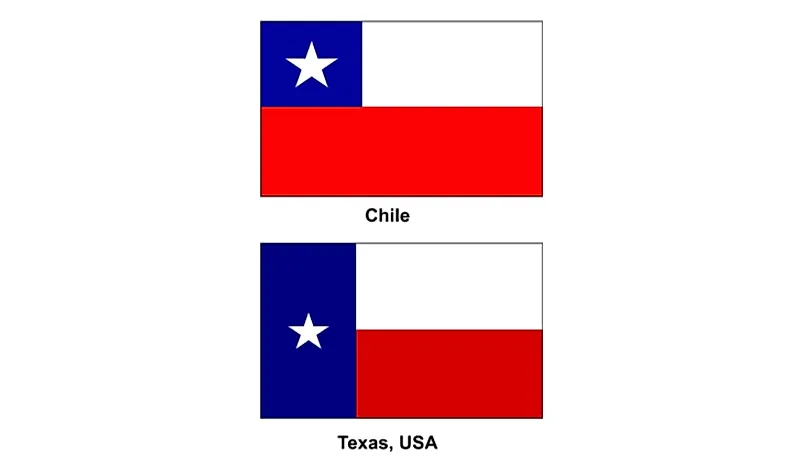
Which Country Flag Looks Like the Texas Flag?
Published on 2019-08-29
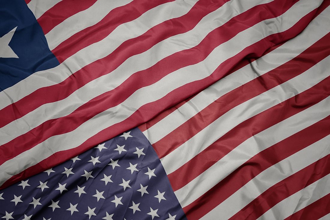
Flags That Resemble the US Flag

Published on 2019-08-20
