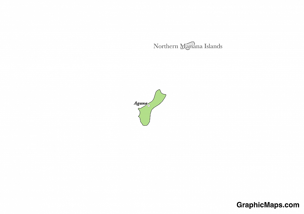
Where is Guam?
Located in Oceania, Guam is an island nation. It has a 126.00 km coastline.
Guam’s capital city is Hagåtña, which is one of the island’s smallest cities. Located at the mouth of the Hagåtña River the city sits on the western coast of Guam. Comprising just one square mile, the administrative capital of the island territory is home to a population of 1,051 residents. Historically the city served as the capital during the time it spent as a Spanish colony. When the island was ceded to the United States in 1898 Hagåtña retained its status as Guam’s capital city. Among the more notable landmarks in the urban area include the Plaza de España as well as Dulce Nombre de Maria Cathedral Basilica, built on the site of Guam’s first Catholic church and home to an image of Santa Marian Kamalen, the Patroness of Guam. Because Guam is located close to the equator the climate is very warm and humid with average temperatures ranging from 76F to 86F.
Read more on Guam's CapitalGuam is an Oceanian country covering 544.00 km2. and about 3 times smaller than Rhode Island. Its geographic coordinates are 13 28 N, 144 47 E and Hagatna is the capital city.
The name Guam comes from the native Chamorro name for the island of "Guahan".
Its ISO code is GU.
Geography
Guam has a mean elevation of 0 m above sea level.
It has a tropical marine climate that is generall warm and humid, with a dry season from January to June and a rainy season from July to December. Its terrain is volcanic, with steep coastal cliffs and narrow plains in the north.
Population
Guam has a population of 162,742 making it the 186th largest in the world.
English, Filipino, Chamorro, and more are all spoken. The major ethnic groups reported include Chamorro, Filipino, and white. The majority of the country identifies as Roman Catholic.
As French Polynesia is an overseas collective of the European nation of France it stands to reason that French is the region’s official language. This Gallo-Romance language includes an alphabet made up of twenty six letters and four vowel diacritics. 68.5% of residents over fifteen years of age speak French as their primary language. Other languages spoken throughout the islands include Tahitian, Marquesan, Tuamotuan, Austral, Pa’umotu, and Rapa. Common French phrases include, “Bonjour” meaning “Hello” and “Bonne Chance” which translates to “Good Luck”. Languages historically native to the islands are still spoken in French Polynesia with Tahitian being the most popular with about 185,000 speakers. The least used minority language, Rapa, is only spoken by a very small percentage of local inhabitants.
Read more on Guam's LanguagesThe dialing code for the country is -670.
Government
It is a territory of the United States. Its constitution was last ratified in 1950.
French Polynesia is an overseas collective of the European nation of France. The government operates as a parliamentary representative democracy with a president serving as its head of state. The territory’s government is known as the Assembly of French Polynesia which is made up of 57 members who are all elected by popular vote. The president is elected by the Assembly for a term of five years. The Assembly conducts its business in a building called the Place Tarahoi which is located in Papeete on the island of Tahiti. The president resides in the Presidential Palace which is housed in the same structure as the Assembly.
Read more on Guam's GovernmentEconomy
Factoring in Purchasing Power Parity, Guam's GDP is $4,882,000,000.00 (USD) with $30,500.00 (USD) per capita. This makes it the 174th largest economy and its citizens the 59th richest in the world. The currency of Guam is the Dollar (USD).
Its major imports include petroleum, food, and manufactured goods.
Flag
Guam is officially a U.S. territory. Its flag features a design that includes a blue background with a red border. In its center is an almond shaped coat of arms which depicts a variety of native symbols including a multihull sailboat sailing on Guam’s Agana Bay which is set against the backdrop of a blue sky and gray cliffs. In the foreground is a sandy shore which includes a large coconut palm tree. The original version of the flag was designed by Helen L. Paul, the wife of a US naval officer who was stationed in Guam during World War I. The national symbol was initially adopted on July 4, 1917. After the Japanese occupation of the island during World War II a red border was added to the flag in order to symbolize the lives lost during numerous bloody conflicts.
Read more on Guam's FlagThis page was last modified on February 6th, 2018
More on Graphicmaps
Published on 2019-11-06
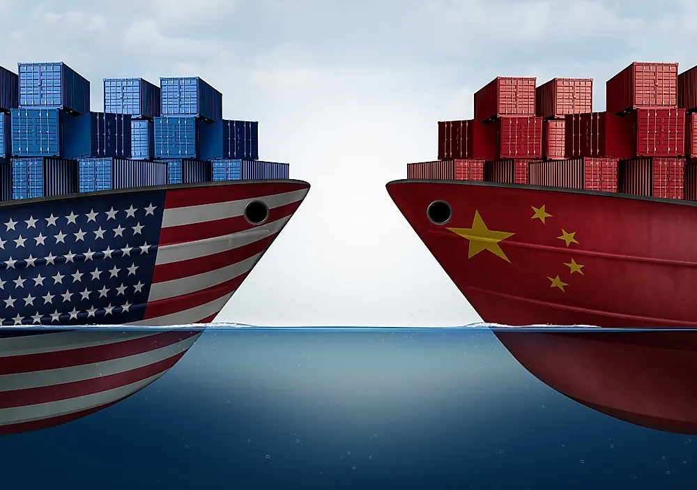
What is a Trade Embargo?
Published on 2019-11-04
Which Two Countries Used to Have the Same Flag?
Published on 2019-09-16
What Is the Only Two-Sided State Flag?
Published on 2019-09-16
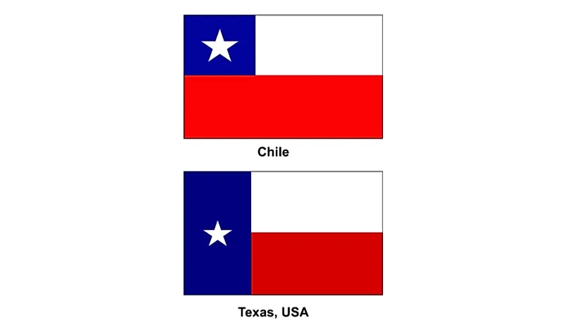
Which Country Flag Looks Like the Texas Flag?
Published on 2019-08-29
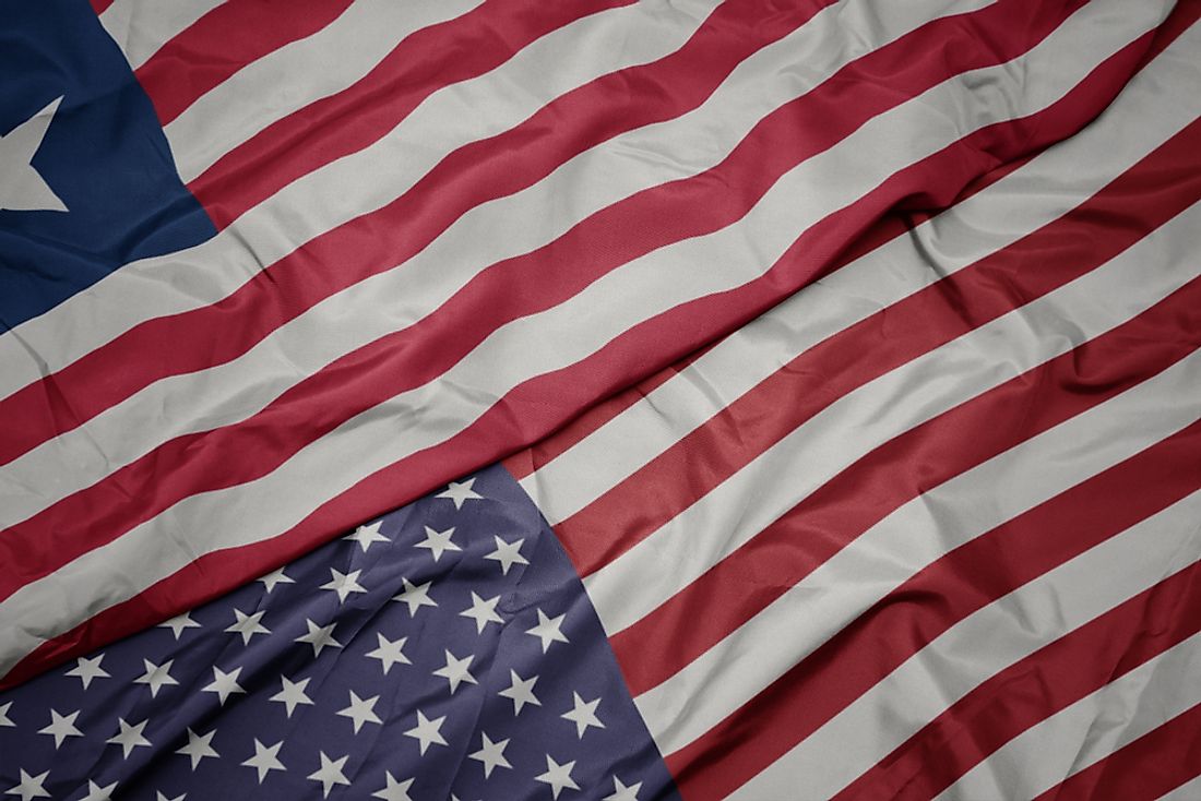
Flags That Resemble the US Flag

Published on 2019-08-20