The capital city of Cocos Islands is West Island, the main city of which is located a six-minute drive from the Cocos Islands Airport. West Island, as the name implies, is the westernmost island of the country and is located in the Indian Ocean to the southwest of Indonesia and the northwest of Western Australia. Cocos Islands were discovered in 1609 but remained unsettled until 1857 when the British set up a trading and merchant port.
The population of West Island is just 120 people, consisting of mainly Australian and European expatriates. West Island relies heavily on these citizens to work in various sectors of the area. Inhabitants will speak English or Cocos Malay and sometimes both. The once thriving coconut trade was regularly damaged by cyclones in the 1980s and the islands were used as an Allied airstrip during World War II. Citizens of Cocos Islands voted to become a part of Australian territory in 1984.
The island is accessible by a four and a half hour flight from Perth, Australia and many great activities are on offer in this tropical paradise. Sea creatures such as manta rays and sharks are on full display in the glass bottom boats available for tourists to view the amazing coral reefs. A favourite land activity on West Island is renting a bike and cycling through the coconut plantations or to the beaches to swim and spot turtles.
West Island is considered a tropical monsoon environment and the islands are located halfway between the Equator and Tropic of Capricorn which heavily influences the climate. The warmest month of the year is March which averages a high temperature of 29.8 degrees Celsius (85.6 degrees Fahrenheit). The coolest month in Cocos Islands is August with an average low of 23.6 degrees Celsius (74.5 degrees Fahrenheit). Temperatures vary little throughout the year due to the location of the country but the wettest month is April with 250 millimetres of rain (9.84 inches).
This page was last modified on May 1st, 2018
More on Graphicmaps

Published on 2019-11-06
What is a Trade Embargo?

Published on 2019-11-04
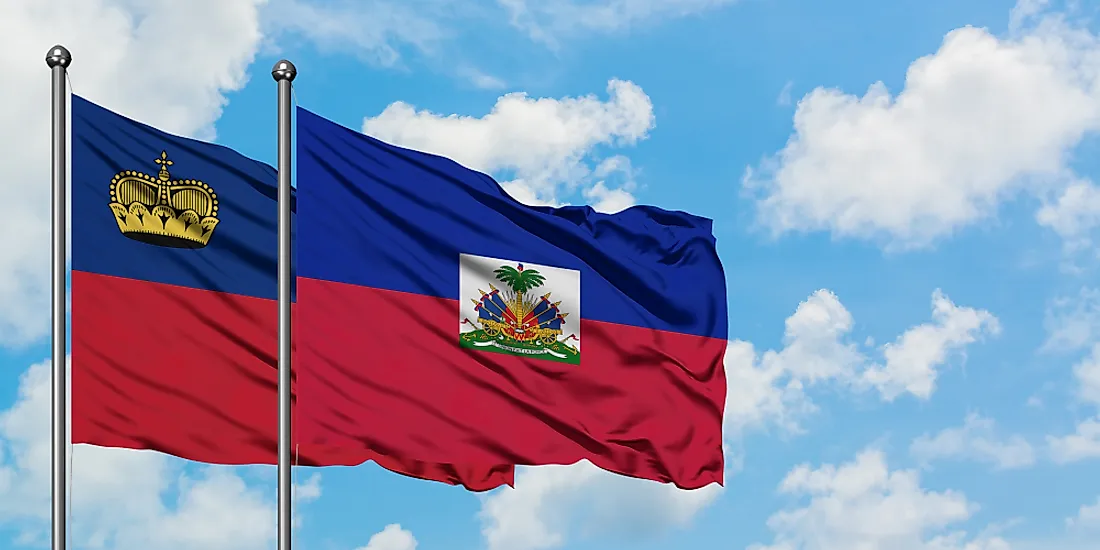
Which Two Countries Used to Have the Same Flag?

Published on 2019-09-16
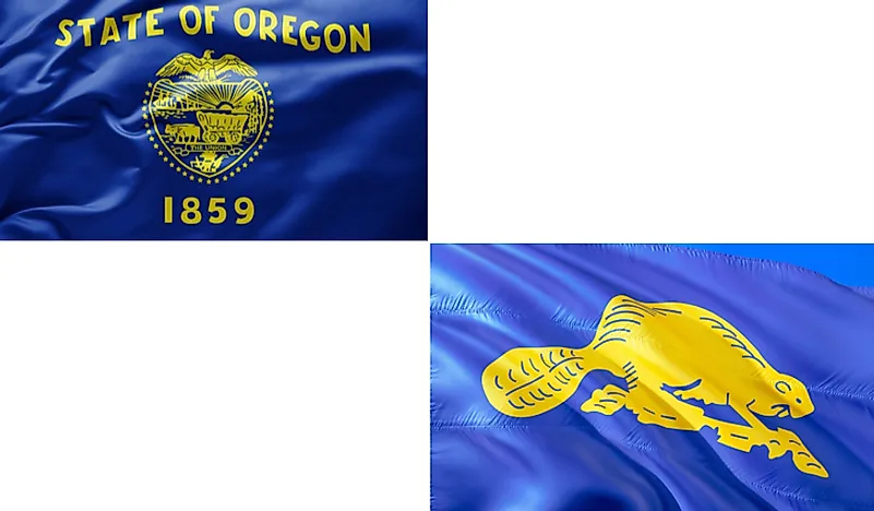
What Is the Only Two-Sided State Flag?

Published on 2019-09-16
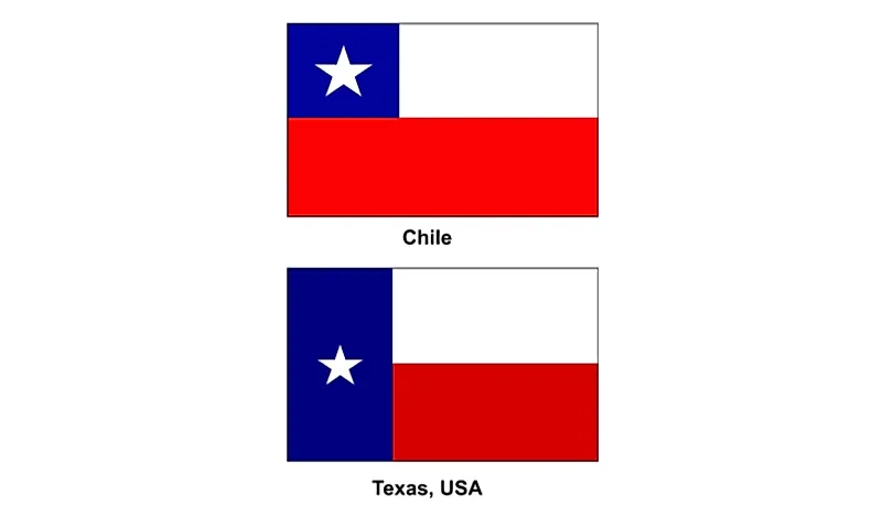
Which Country Flag Looks Like the Texas Flag?

Published on 2019-08-29
Flags That Resemble the US Flag

Published on 2019-08-20
