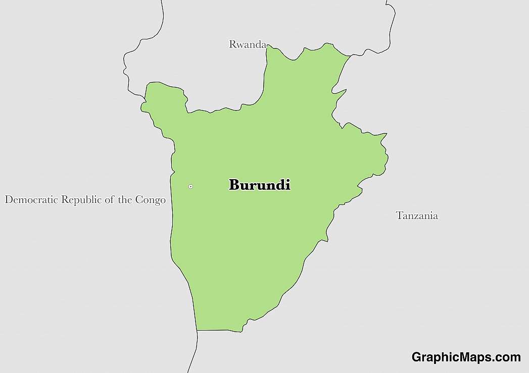
The capital city of Burundi is Bujumbura, which is located in the central western region of the country. It sits along the shores of Lake Tanganyika, the second deepest lake in the world. Because of this location, Bujumbura serves as the most important port city in Burundi. The population of this city began to grow significantly in 1889, after it was established as a military center for German East Africa. It became an administrative center as a mandate of Belgium after World War I. Bujumbura maintained its status as a capital city after independence in 1962.
The population of Bujumbura was recorded at nearly 500,000 in the census of 2008. The entire metropolitan area, however, has a population size of around 800,000 individuals. This size makes Bujumbura the most populated city in Burundi. The households of this city are divided into 13 distinct neighborhoods, also known as communes. Each commune is headed by a community administrator and council.
Bujumbura is a common tourist destination within Burundi. However, Burundi does not receive many visitors on a yearly basis. In fact, the country is currently experiencing political instability and several countries have issued travel advisories to potential tourists. Some of the most popular sites in Bujumbura include: Musée Vivant, a natural history museum with some live animal exhibits, the Unity Monument, the lake beaches, and the Rusizi National Park, which offers safari tours.
Bujumbura is located within a tropical savannah climate, which means this area experiences very distinct wet and dry seasons. In Bujumbura, the dry season runs from May through September and the rest of the year is considered the wet season. Because it is located at 2,539 feet above sea level, this city often experiences moderate temperatures throughout the year. In fact, the average high is around 84° fahrenheit, while the average low is generally around 66° fahrenheit. The hottest months are between December and April. This city receives approximately 30.93 inches of precipitation every year.
This page was last modified on May 1st, 2018
More on Graphicmaps

Published on 2019-11-06
What is a Trade Embargo?

Published on 2019-11-04
Which Two Countries Used to Have the Same Flag?

Published on 2019-09-16
What Is the Only Two-Sided State Flag?

Published on 2019-09-16
Which Country Flag Looks Like the Texas Flag?

Published on 2019-08-29
Flags That Resemble the US Flag

Published on 2019-08-20
