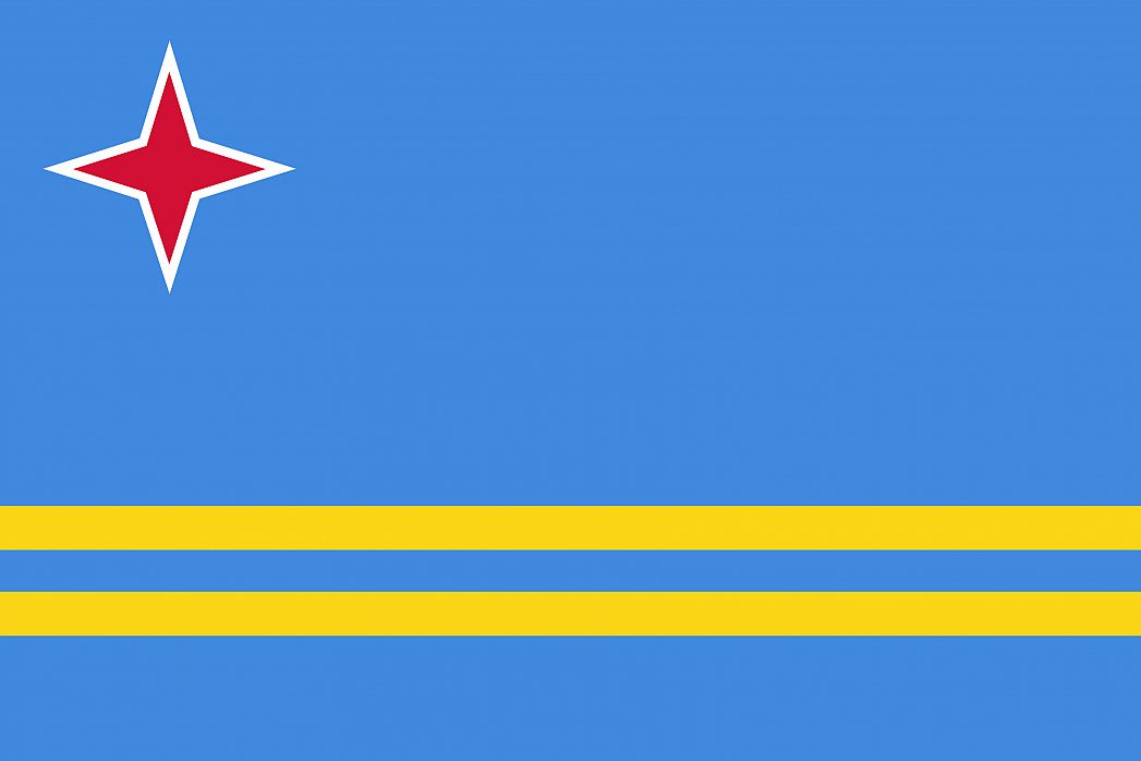
The national flag of Aruba consists of a four-pointed Union Jack red star set against a larkspur blue background with two horizontal bunting yellow stripes on the bottom half. It was adopted on March 18, 1976, along with the island's national anthem. They represented the island's independence and sovereignty. The date of January 1st, 1986 is special to the people of Aruba as it was on this day that the Kingdom of Netherlands accepted the country’s right to be autonomous.
The blue color in the flag represents the sea, the sky, peace, and hope. The yellow symbolizes abundance, the sun, and the island’s gold industry as well as the wanglo flower. The two narrow horizontal stripes represent the free separate status from the Netherlands. The four points on the star represent the four cardinal points, reflecting the different origins of the Arubans as well as the islands' four main languages. The red on the stars symbolize the blood shed by the Arubans during the French war as well as the red soil of the islands. The white on the star represents purity, honesty, and white beaches.
A contest was held for flag designs in 1976. A flag commission made up Julio Maduro, Epi Wever and Roland Donk judged more than 700 submissions. Among the main criteria were simplicity, no writing, uniqueness, and cost efficiency when producing in mass. As no single design met all the criteria, they took the best elements from the designs and came up with the final design.
In the early 16th century, Aruba was under Spanish rule, and therefore it flew the flag of the Spanish Empire which was the Cross of Burgundy. Later, when the island was under the Dutch administration, it used the red white and blue horizontal tricolor of the empire. When it became a member of the Netherland Antilles, it changed its flag accordingly, to a white field with a centered vertical red stripe, a horizontal blue stripe with six five-pointed white stars at the center. The five stars represent on the flag represent the five islands of Saba, Curaçao, Bonaire, Sint Eustatius and Sint Maarten.
This page was last modified on May 1st, 2018
More on Graphicmaps

Published on 2019-11-06
What is a Trade Embargo?
Published on 2019-11-04
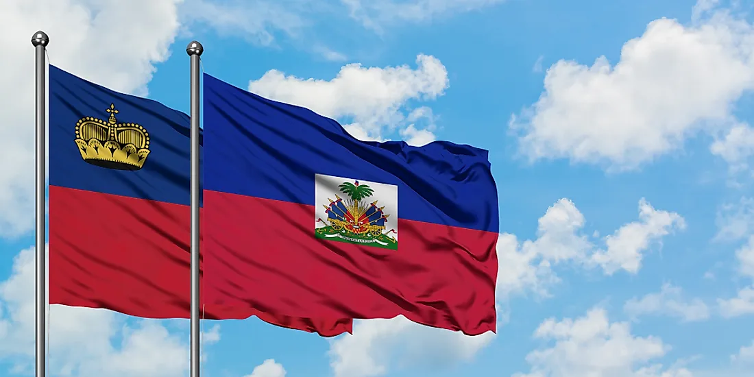
Which Two Countries Used to Have the Same Flag?
Published on 2019-09-16
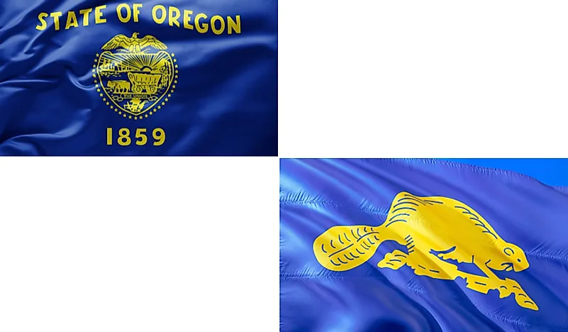
What Is the Only Two-Sided State Flag?
Published on 2019-09-16
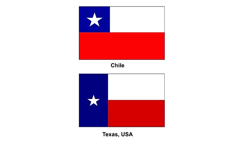
Which Country Flag Looks Like the Texas Flag?
Published on 2019-08-29
Flags That Resemble the US Flag

Published on 2019-08-20
