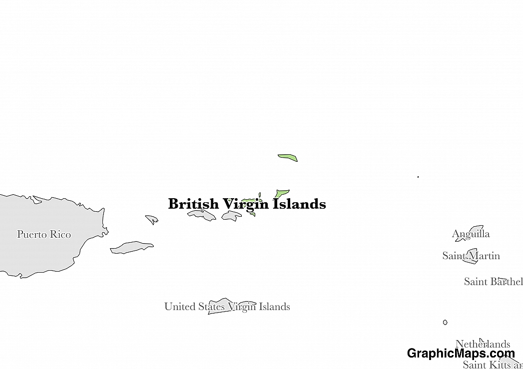
Where is British Virgin Islands?
Located in the Caribbean, British Virgin Islands is an island nation. It has a 80.00 km coastline.
British Virgin Islands is a North American country covering 151.00 km2. The area is comprised of 16 inhabited and more than 20 uninhabited islands and includes the islands of Tortola, Anegada, Virgin Gorda, and Jost van Dyke. and about 0.9 times the size of Washington, DC. Its geographic coordinates are 18 30 N, 64 30 W and Road Town is the capital city.
The British Virgin Islands were named by Christopher Columbus.
Its ISO code is VG.
Geography
British Virgin Islands has a mean elevation of 0 m above sea level.
It has a subtropical climate that is humid and affected by trade winds. Its terrain is relatively flat, although occasionally hilly.
Population
British Virgin Islands has a population of 34,232 making it the 213th largest in the world. The country's population is fairly distributed throughout the islands.
English is the official language. The major ethnic groups reported are African/black, Latino, and white. The population is mostly Protestant Christian.
The dialing code for the country is -283.
Government
It is an overseas territory of the United Kingdom. Its constitution was last ratified in 2007.
Economy
Factoring in Purchasing Power Parity, British Virgin Islands's GDP is $500,000,000.00 (USD) with $42,300.00 (USD) per capita. This makes it the 212th largest economy and its citizens the 39th richest in the world. The currency of British Virgin Islands is the Dollar (USD).
Its major imports include building materials, automobiles, and foodstuffs.
This page was last modified on February 6th, 2018
More on Graphicmaps
Published on 2019-11-06
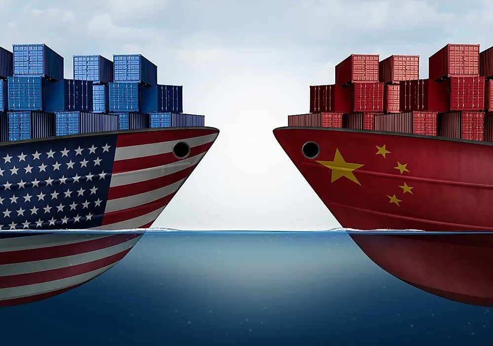
What is a Trade Embargo?
Published on 2019-11-04
Which Two Countries Used to Have the Same Flag?
Published on 2019-09-16
What Is the Only Two-Sided State Flag?
Published on 2019-09-16
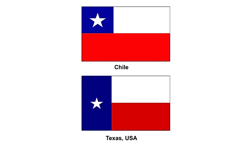
Which Country Flag Looks Like the Texas Flag?
Published on 2019-08-29
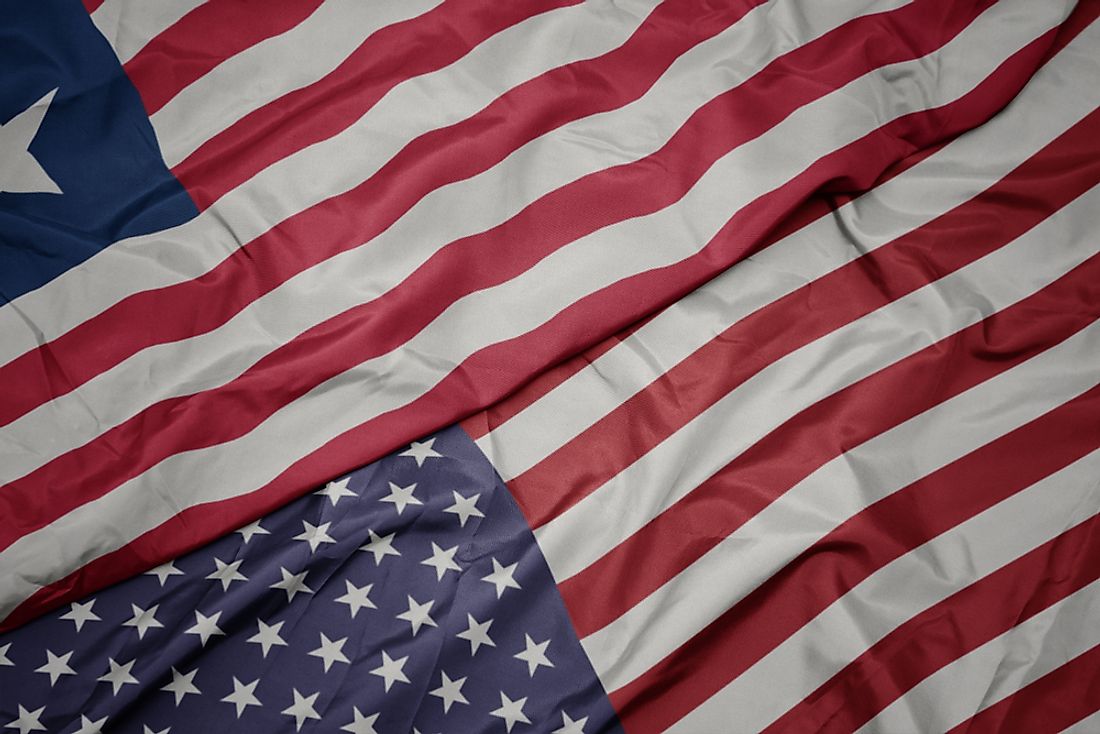
Flags That Resemble the US Flag

Published on 2019-08-20