
Where is Bonaire, Saint Eustatius and Saba ?
Bonaire, Saint Eustatius and Saba is an island nation.
The capital cities of Caribbean Netherlands are Kralendijk (Bonaire), Oranjestad (Sint Eustatius), and The Bottom (Saba). They are located on the western coastline of the Caribbean Sea, apart from the Bottom which is located inland in a valley. The cities have very low populations with Kralendijk having 3,000 inhabitants, Oranjestad having 1,000 and the Bottom with fewer than 500 inhabitants. All of the cities date back to 16th century when the exploration and settlement of early European merchants in the Caribbean was experienced. Located in the tropical region, the weather is majorly warm. This, combined with a rich historical culture and warm Caribbean coastal waters, helps make the region a popular tourist attraction.
Read more on Bonaire, Saint Eustatius and Saba 's CapitalBonaire, Saint Eustatius and Saba is a North American country covering 328.00 km2..
Its ISO code is BQ.
Bonaire, Saint Eustatius and Saba has a mean elevation of 0 m above sea level.
Despite the connection of these islands to the Netherlands, Dutch is not the first language for a majority of the populations. A majority of the population in Saba and Sint Eustatius are English speakers, while a majority of the population in Bonaire speaks Papiamento. Papiamento is a unique Creole language which was developed during the mid-1400s. About 67% of the population in Bonaire use Papiamento as their first language. The majority of the English speakers on these Islands live in Saint Eustatius (93% of the population) and Saba (85% of the population).
Read more on Bonaire, Saint Eustatius and Saba 's LanguagesThe dialing code for the country is 599.
The currency of Bonaire, Saint Eustatius and Saba is the Dollar (USD).
Bonaire, Sint Eustatius, and Saba gained their status after the dissolution of the Netherlands Antilles on October 10, 2010. The three special municipalities are known as the Caribbean Netherlands or the BES Islands (an acronym of their names). The islands are now classified as an overseas territory of the Kingdom of the Netherlands. The current governor of Bonaire is Edison Rijna. He has been in this position since August 22, 2014. Sint Eustatius has had an acting governor known as Julian Woodley since April 1, 2016. Jonathan Johnson has been the governor of Saba since July 2, 2008. The government house of Bonaire is found near Plasa, Wilhelmina next to Fort Orange. The capital city Oranjestad is home to the parliament of the island of Sint Eustatius. The government house of Saba is found in the Bottom, the capital city of Saba. Under the Dutch Electoral Act, the governor is the head of the island council that consists of seven members who serve for four years and are suitable to be reappointed for two more terms.
Read more on Bonaire, Saint Eustatius and Saba 's GovernmentFlag
A committee developed the flag of Bonaire with help from Whitney Smith. It was officially adopted in 1981. The colors and symbols on it symbolize the sea, the local flowers, Bonaire’s freedom, its legendary sailors and the fighting spirit of its people. Zuwena Suares designed the flag of Sint Eustatius, and it was adopted in 2004. Its colors symbolize the ocean, the Quill, and the Flamboyant flower. Its diamond represents a waterfall. The Saban flag was designed by Edmond Daniel Johnson and was adopted in 1985. Its colors symbolize Saba’s hope and natural beauty, the ocean, peace and its peoples’ unity, courage, and decisiveness. All three flags have the colors of the flag of Netherlands, red, blue, and white, to represent the ties both political and historical between them. All three islands also flew the flag of the Netherland Antilles of which they were members before its dissolution in 2010.
Read more on Bonaire, Saint Eustatius and Saba 's FlagThis page was last modified on January 17th, 2018
More on Graphicmaps

Published on 2019-11-06
What is a Trade Embargo?
Published on 2019-11-04
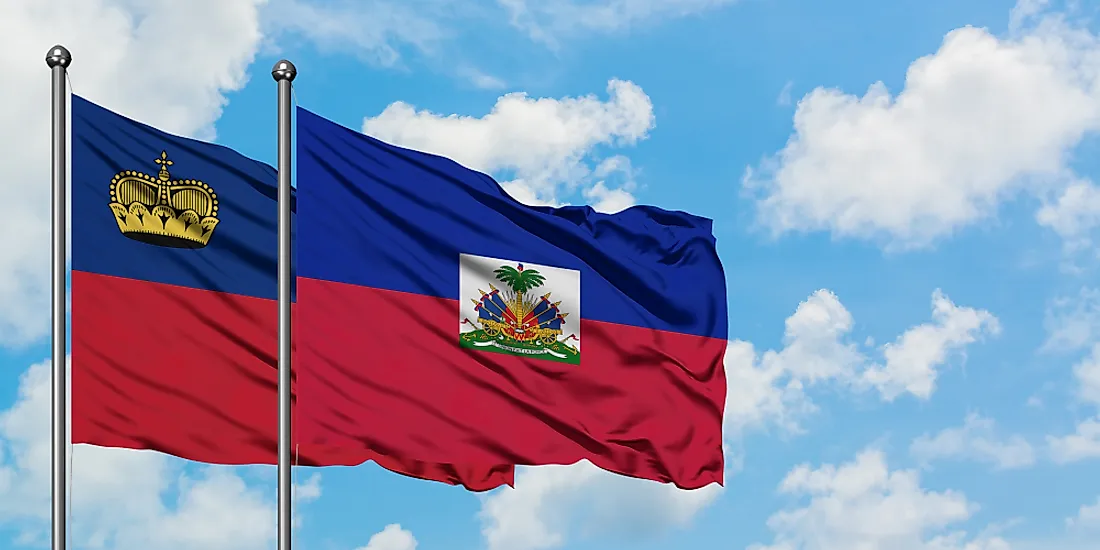
Which Two Countries Used to Have the Same Flag?
Published on 2019-09-16
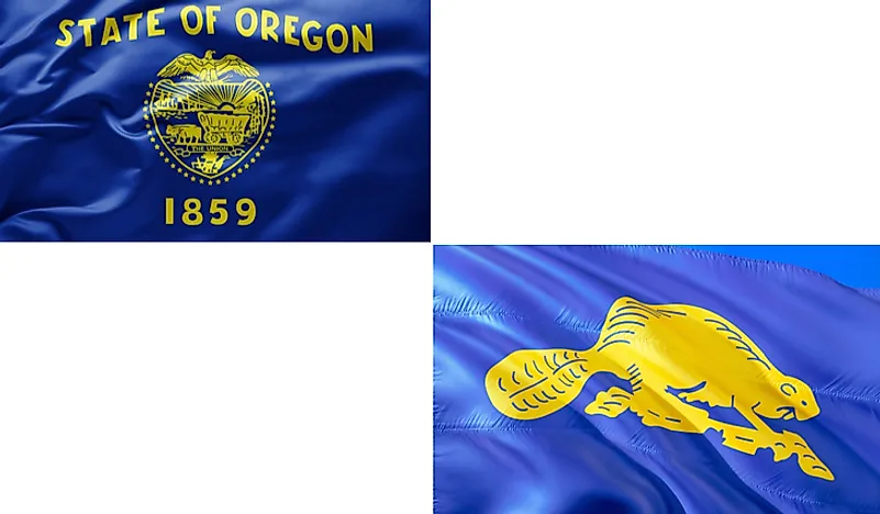
What Is the Only Two-Sided State Flag?
Published on 2019-09-16
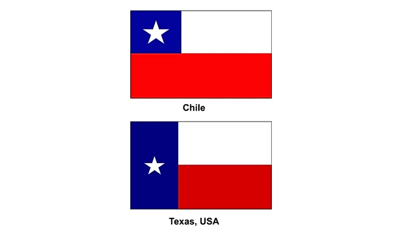
Which Country Flag Looks Like the Texas Flag?
Published on 2019-08-29
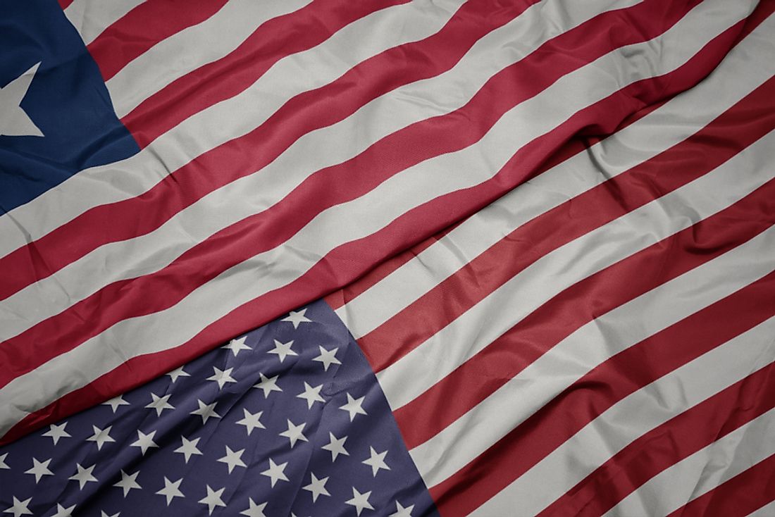
Flags That Resemble the US Flag

Published on 2019-08-20